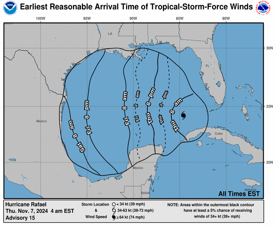
Hurricane Rafael Update 3


Captiva Island Fire Control District will conclude updating the community on Hurricane Rafael as it no longer presents a risk to Captiva Island. Additional information will continue to be provided by the National Hurricane Center.
Current Location: 24.5N, 85.1W
Geographic Reference: 210 miles of Key West, Florida
Movement: West at 11 mph
Max Winds: 105 mph gusting to 125 mph
Current Hurricane Severity Index: 13 out of a possible 50 points (4 size, 9 intensity)
Max Predicted Hurricane Severity Index: 13 out of a possible 50 points (4 size, 9 intensity)
Current Radius of Tropical Storm-Force Winds: 115 miles
Max Predicted Radius of Tropical Storm-Force Winds: 115 miles
Organizational Trend: Steady
Forecast Confidence: Below Average
Estimated Central Pressure: 969 mb
Key Points
- Hurricane Rafael continues to move away from Cuba and the lower Florida Keys where conditions are improving.
- Over the next couple of days, a track mostly to the west is expected. Thereafter, uncertainty becomes fairly high as some models continue to indicate a track toward Louisiana while others take Hurricane Rafael toward southern Mexico. Given where Hurricane Rafael is currently located, a track toward southern Mexico is the most likely outcome.
- Landfall is forecast to occur over southern Mexico Tuesday.
Captiva Island Information
- Florida Keys and Southwest Florida Peninsula: Some outer bands of squalls may impact the area through this morning and possibly produce a few isolated tornadoes. Wind gusts to tropical storm force will also be possible.
- Captiva Island will have NO storm surge associated with Hurricane Rafael.
